
SvømKBH
33 municipal locations documented with Google Maps 360° tours, still photography and selected drone views.
- SvømKBH
- Photography · 360° photography · Drone photography
- Copenhagen
One production across 33 locations.
The assignment covered planning, photography, post-production and publication across pools, harbour baths, beaches and ice rinks. The delivery combined Google Maps 360° photography, images from a 100 MP medium-format camera and drone photography where relevant.
- Client
- Copenhagen Municipality · SvømKBH
- Scope
- 33 locations
- Delivery
- Google Maps 360° · Photography · Drone
- Photography
- 243 selected images · 33 venues
- Drone
- 9 selected aerial frames · 3 venues
- Google Maps
- 33 shoots completed
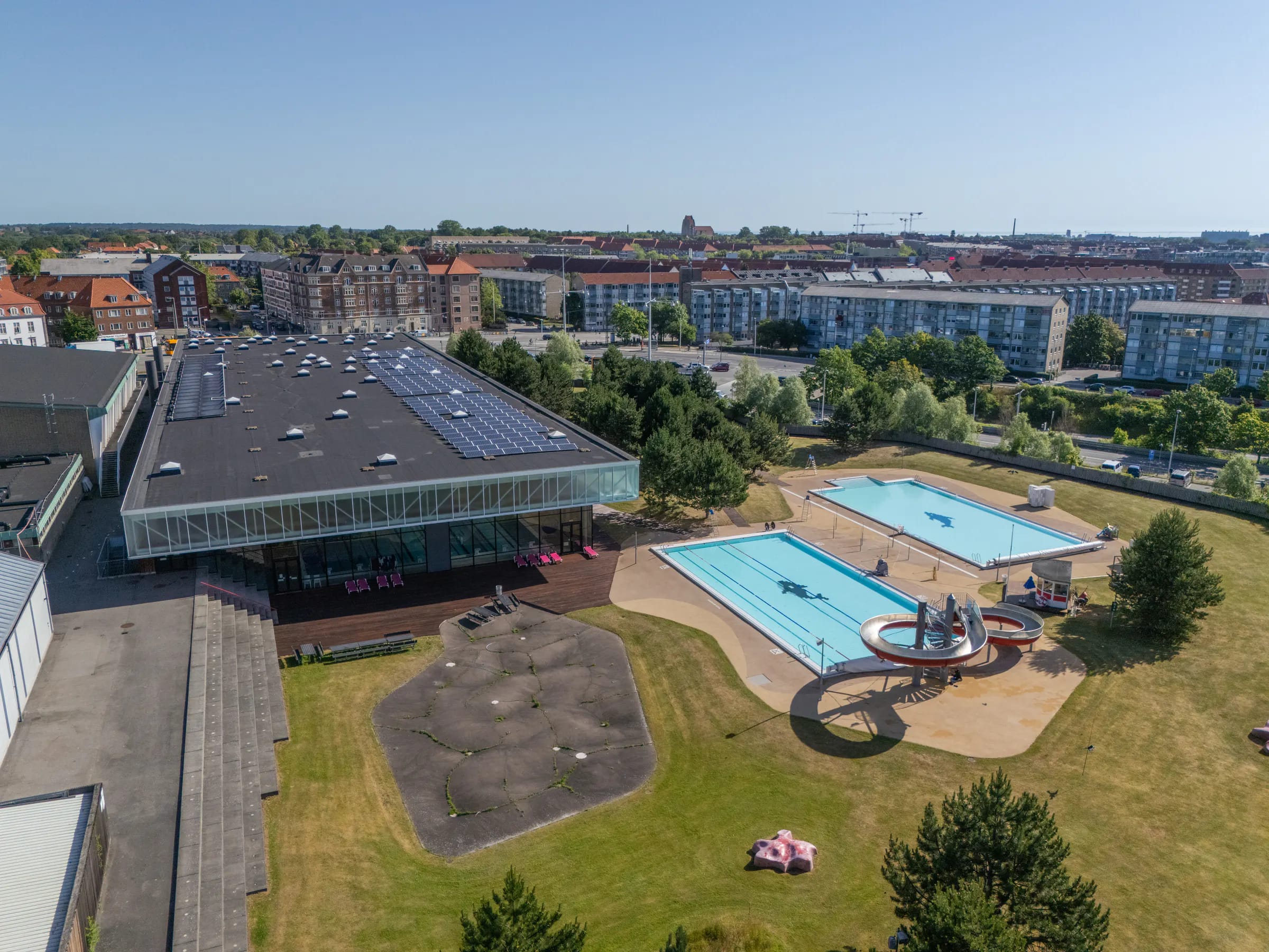
Selected photographs from six locations.
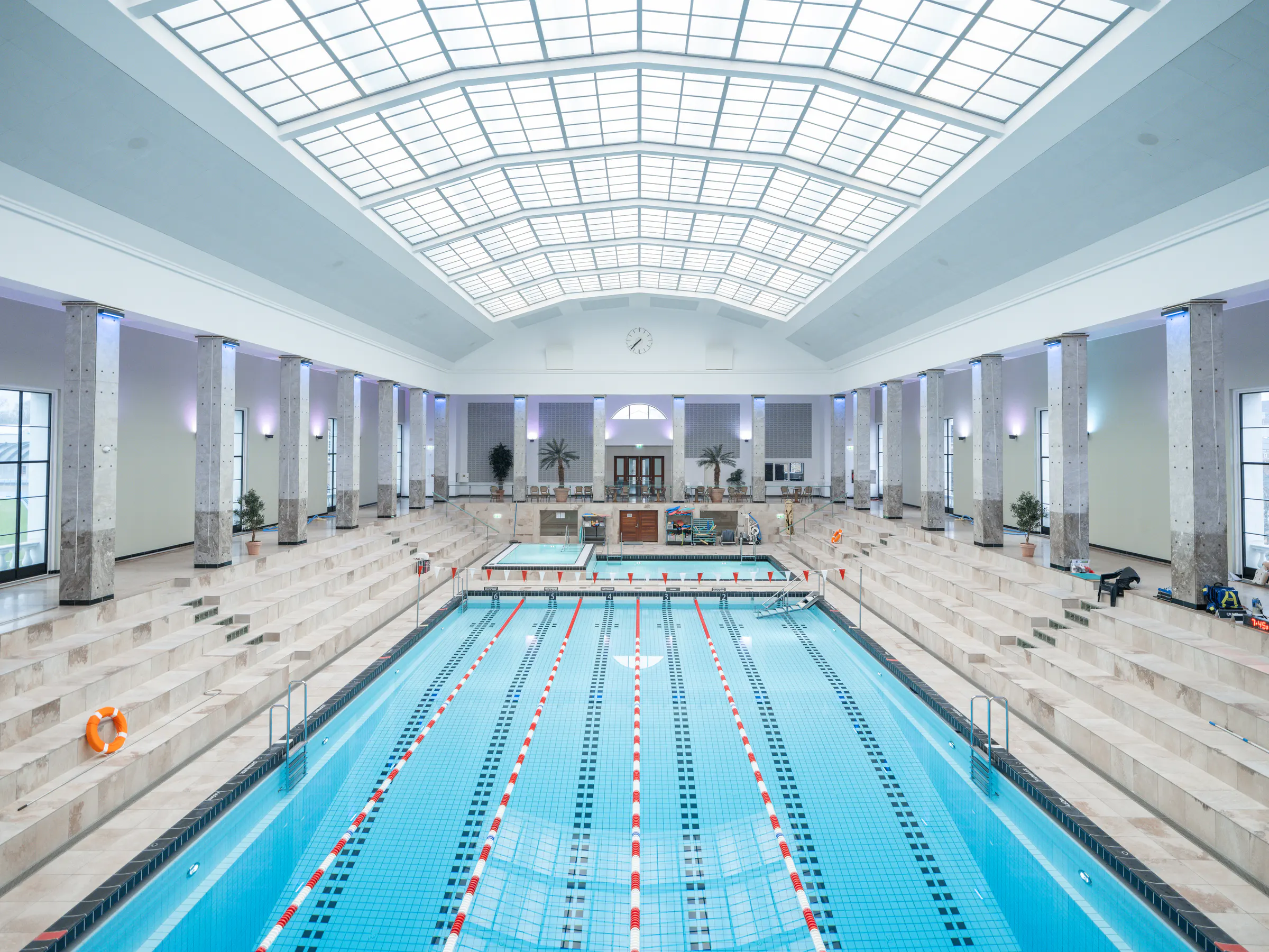
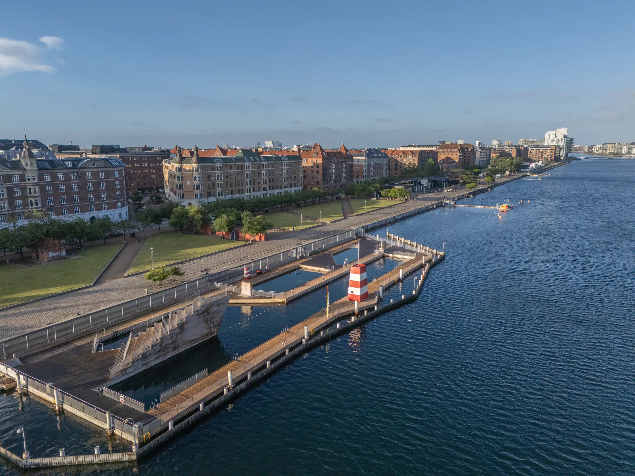
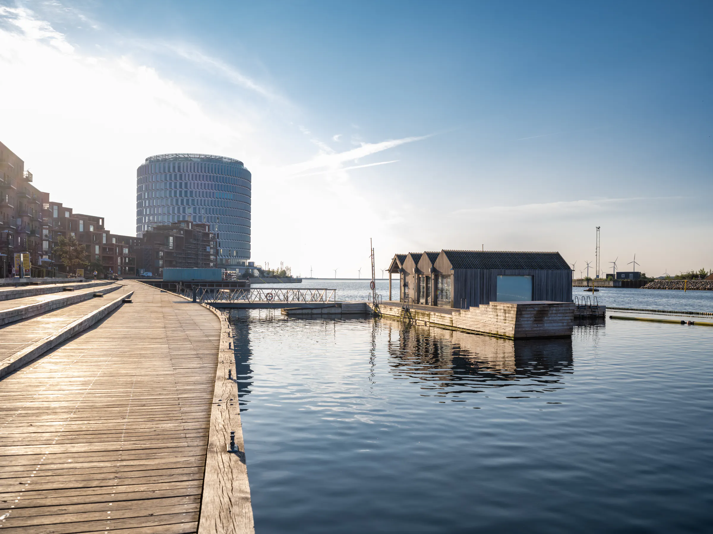
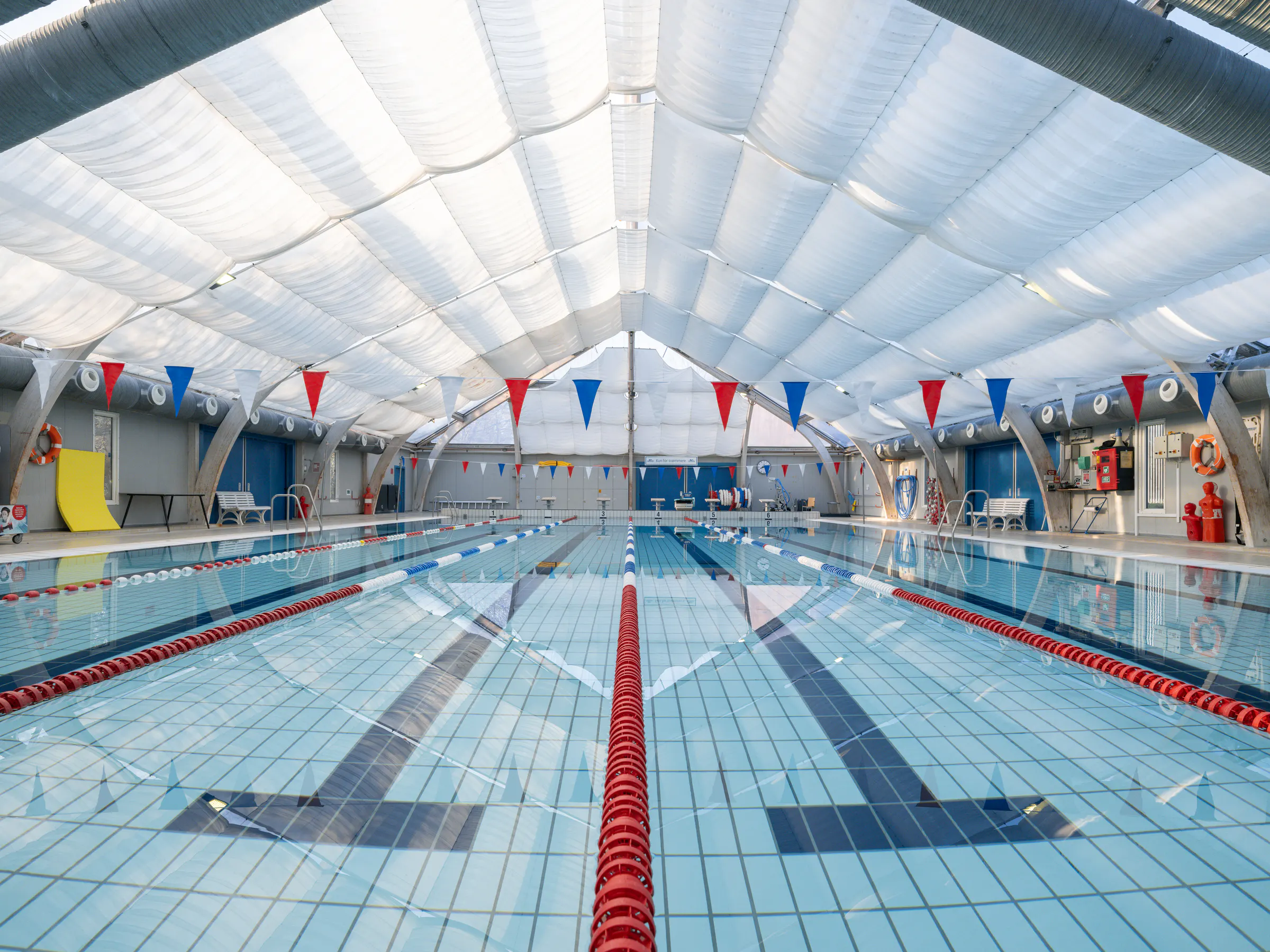
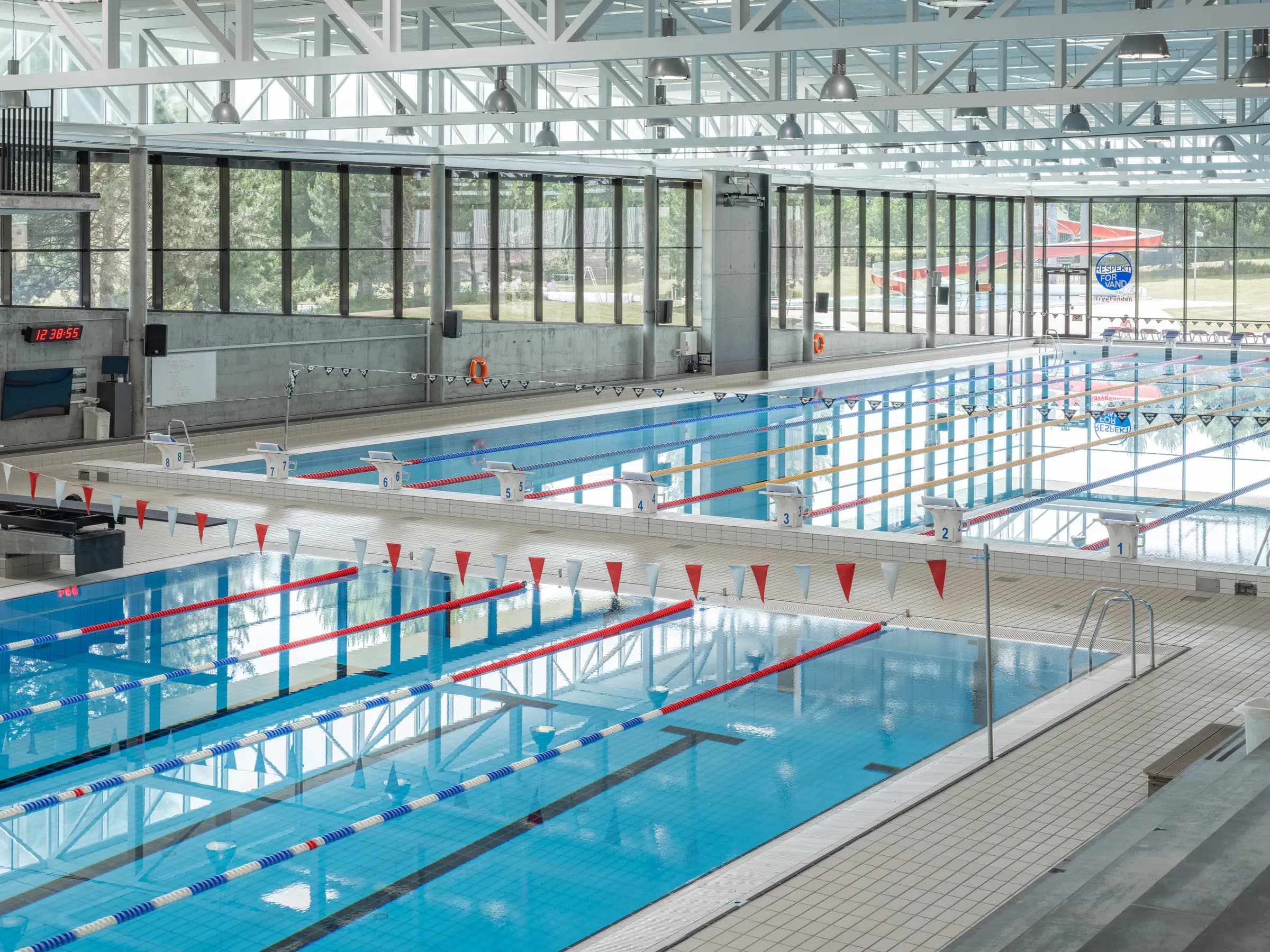
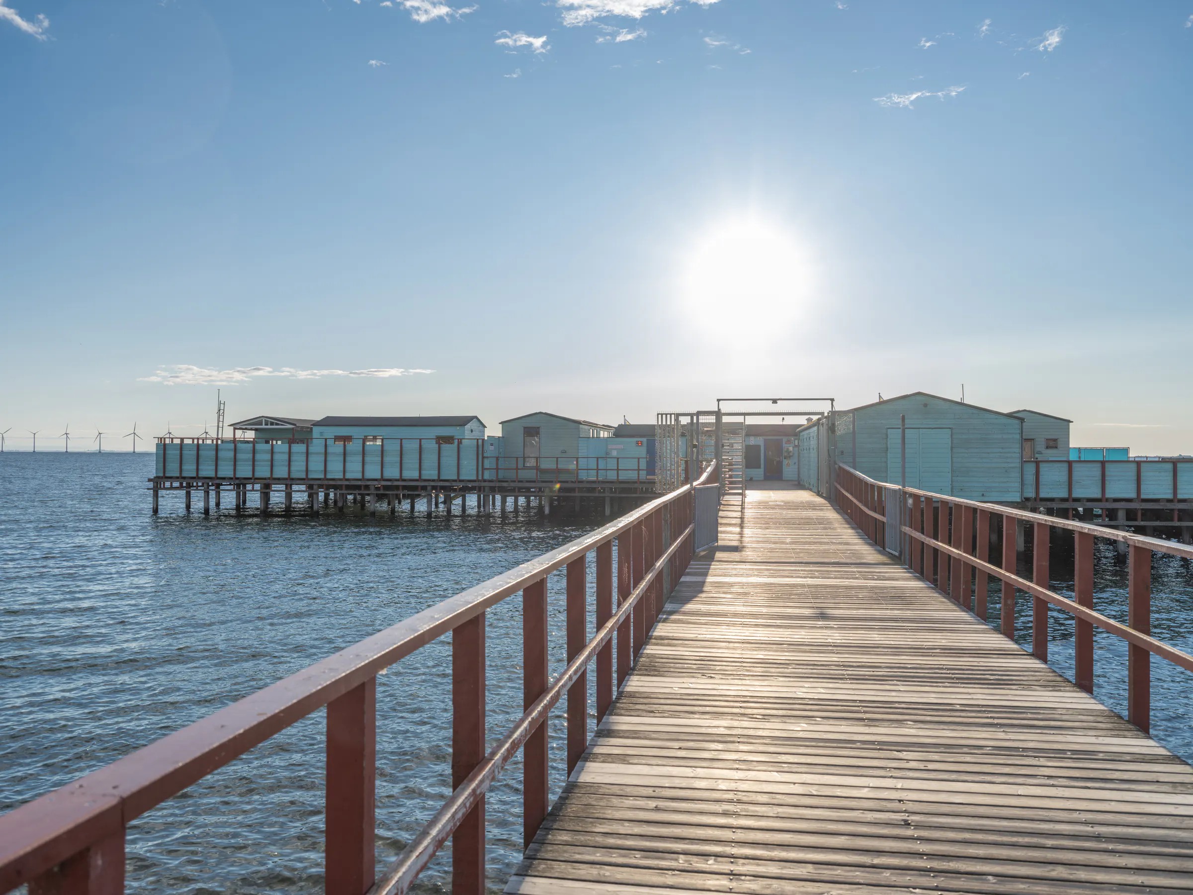
33 locations.
Choose a location to view its available Google Maps tour, photography and drone views.
Bellahøj Svømmestadion. Published on Google Maps.
Use the arrow keys to look around. Press Tab to leave the tour.

Bellahøj Svømmestadion
The 50-metre pool has eight lanes, while the separate diving pool has boards up to five metres.
Planning, capture, post-production and publication.
Locations and access were coordinated in one production plan. Fixed capture standards and a shared post-production process kept the delivery consistent across different buildings, weather conditions and light.
Plan
Locations, access and dependencies coordinated in one production plan.
Capture
360° photography, still photography and drone selected by location and need.
Editing
The images are edited and assembled into a virtual tour.
Publish
Tours prepared for Google Maps and municipal channels.
Do you need to document multiple locations?
We plan and deliver photography, drone and 360° productions for municipalities, institutions and organisations.